
Geographic Information Systems (GIS) are now open source and have greatly influenced the methods of data acquisition, storage, and analysis. As the open source GIS software and libraries are becoming more popular, researchers and professionals can apply the state of the art methods for analyzing the large and complicated data. In this article, we will discuss some of the most recent methods of open source GIS for data analysis.
Spatial Data Analysis and Learning Techniques

Spatial data mining and machine learning methods have been widely used in the open source GIS to discover the previously unknown patterns and trends in the geospatial data. Some of the GIS software like QGIS and GRASS GIS have inbuilt spatial clustering, classification, and regression analysis tools. Thus, with the help of libraries like scikit-learn and TensorFlow, users can apply more sophisticated machine learning models to such tasks as land cover classification, urban growth prediction, or disease outbreak detection.
Spatial Statistics and Modeling
Open source GIS offers a sound platform for the integration of spatial statistics and modeling tools for the analysis of the patterns, trends, and relations of spatial data. GeoDa and R’s spatstat package allow the user to conduct spatial autocorrelation analysis, spatial regression analysis, and hotspot analysis. These techniques are especially helpful in discerning the causes of spatial relationships and decision-making in fields such as land use, disease control, and natural resource protection.
Geovisual Analytics and Interactive Dashboards.
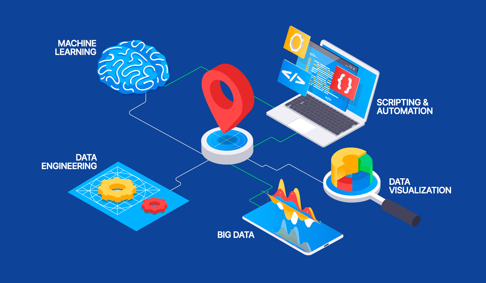
Spatial data analysis and data visualization and manipulation is very important in decision making. The open source GIS tools in conjunction with the web mapping libraries such as Leaflet and OpenLayers make it possible for users to develop maps and dashboards for data analysis and presentation. Through the use of QGIS2Web and GeoNode for instance, users can easily upload their GIS data and results in the web for use by other people.
Integration and Interoperability of Spatial Data.
The second major strength of open source GIS is the ability to handle a large number of data formats and standards. Libraries such as GDAL and OGR are used to access geospatial data as they offer a common interface for reading and writing data from different sources. This interoperability allows users to integrate data from satellite imagery, sensor networks, social media, and crowdsourcing platforms to build accurate and timely models of the real world.
Automation and Scripting
Many open source GIS software has robust scripting and automation features that enable the users to work efficiently. The QGIS Processing Framework and PyQGIS are some of the tools that allow the creation of new processing algorithms, automating tasks, and incorporating GIS in other applications. This way, using scripting languages such as Python, users can create complex spatial analysis workflows and disseminate them to other users.
Citizen Science and Volunteered Geographic Information.
Conclusion
Open source GIS provides a vast number of possibilities for applying sophisticated methods of data analysis. With the help of spatial data mining, machine learning, spatial statistics, geovisual analytics, data integration, automation, and citizen science, the users can get the maximum out of their geospatial data. Thus, as the open source GIS grows and develops in the future, it will provide new and exciting applications and techniques for use in areas such as urban planning, environmental management and control, public health, and disaster response.