
Geographic Information Systems (GIS) have been widely used to help in the analysis and display of geographical data. Due to the advancement in technology and the availability of open source software GIS has become cheaper and easily available. In this article for the absolute newcomer to open source GIS, we will introduce the reader to the basic ideas and tools.
What is Open Source GIS?
Open source GIS is defined as the GIS software that is released to the public domain and whose source code can be modified and redistributed. While commercial GIS is owned software which cannot be modified or enhanced by the users, open source GIS can be modified and enhanced by the user according to his requirement. This model of software development is often associated with creativity and a large number of enthusiasts and professionals.
Key Open Source GIS Software
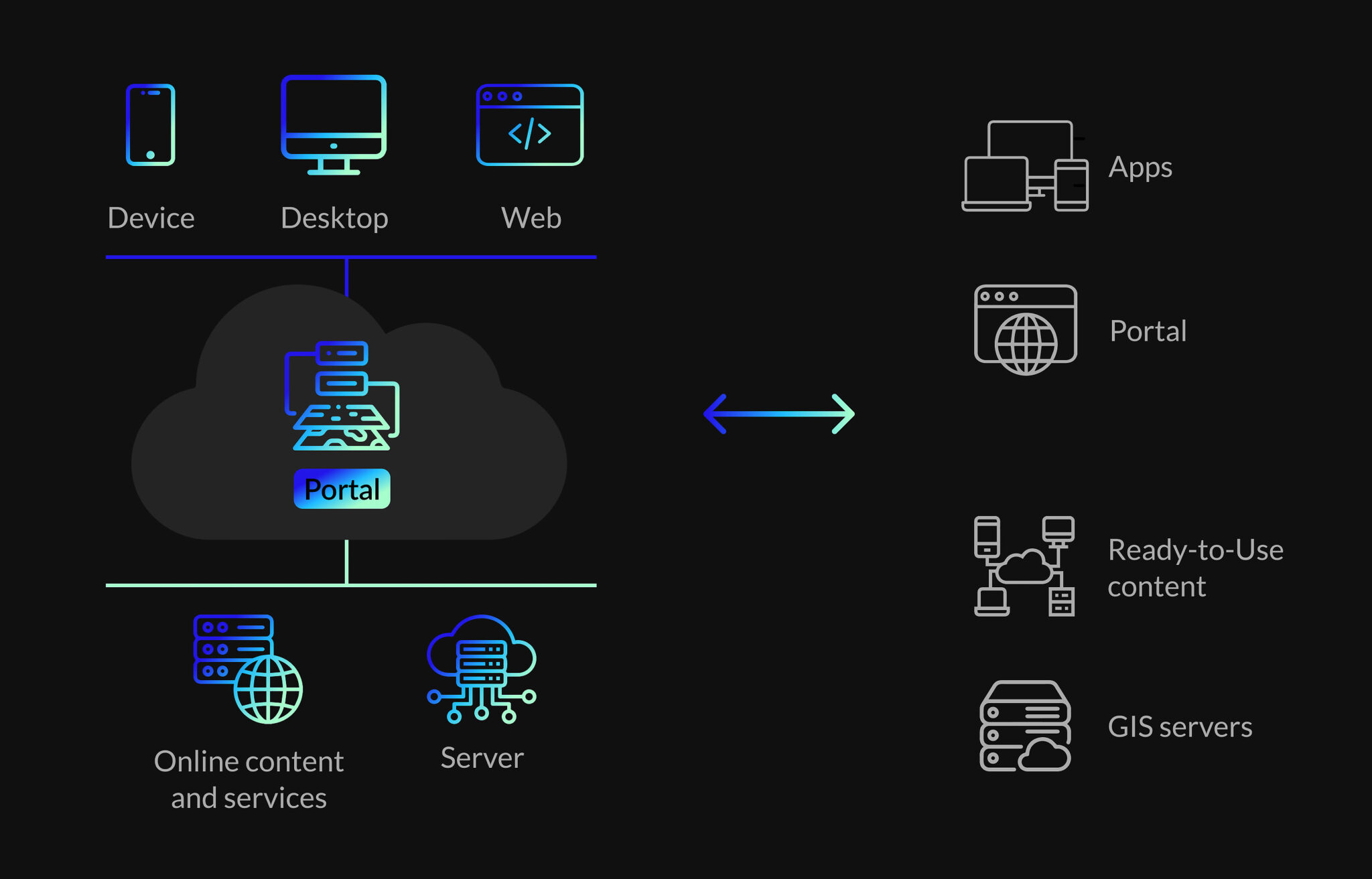
Here are some of the most used open source GIS software. Here are a few of the most widely used:Here are a few of the most widely used:
QGIS: QGIS is an open source GIS software that can run on multiple operating systems and has a friendly graphical user interface and supports various data formats and data handling, analysis, and presentation tools.
GRASS GIS: GRASS GIS (Geographic Resources Analysis Support System) is an open-source, advanced level GIS software that has extensive raster and vector data analysis features.
PostGIS: PostGIS is an addition to the PostgreSQL database, which provides the ability to work with spatial data within the RDBMS.
OpenStreetMap: OpenStreetMap is a project for the creation of the world map that can be edited by everyone for free. It is a project that depends on the contribution of volunteers to collect and manage geographical data and thus is useful for the open source GIS.
Getting Started with Open Source GIS
To get started with open source GIS, follow these steps:To get started with open source GIS, follow these steps:
Choose a software: Choose an open source GIS software that you are comfortable with and that meets your requirements. QGIS is easy to learn and use and is recommended for beginners because of its simple interface and availability of documentation.
Install the software: First, obtain the software that you wish to use and then install it on your computer. Most of the open source GIS application software can be run on windows, MAC OS and Linux operating systems.
Learn the basics: It is advisable to know the software and its features and tools that are available for use. Most open source GIS projects provide tutorial, documentation, and online training to assist the user in getting started.
Acquire data: Collect geographical information that is related to your project. There are many data formats that open source GIS software can handle and these include shape files, geojson and raster data.
Explore and analyze: Learn how to navigate through your spatial data and analyze and display it with the help of the software tools. Open source GIS software provides a number of functions to perform functions like data management, analysis and map production.
Benefits of Open Source GIS

Open source GIS offers several benefits over proprietary software:
Cost-effective: The open source GIS software is usually free to download and apply hence can be afforded by individuals or organizations with a tight budget.
Customizable: Open source GIS software allows the users to change and enhance the program to meet their requirements.
Community-driven: Open source GIS software has a large number of users and developers who participate in the software development and support.
Interoperable: Most of the open source GIS software is capable of handling a large number of data formats thus allowing the user to work with data from different sources.
Conclusion
This paper has presented open source GIS as a viable and flexible option to the expensive and closed source GIS software. With the help of the open source community, it is possible to discover, process, and represent spatial data in new and exciting ways. Open source GIS is ideal for anyone who is new to GIS or for someone who has been using GIS for many years.